
Top breakfast and an early start.
The original plan was to follow the Severn valley as far as possible in order to make quick progress as this was going to be by far my longest day. Taking into account all that we knew about the floods this was changed a little.
Made excellent progress to begin with with a fairly strong tailwind up to Gloucester on the A38. The plan was now to take the A417 at Maisemore then follow the B4211 along the River Severn as far as possible. Sadly, the road to Maisemore was closed with a deep flood. So I headed off on the A40 to loop around via Highleadon which worked fine adding a few miles.

When I got to the flooded village of Upton I followed the advice of the chaps directing traffic. So off towards Malvern I went, I thought about looping around and coming back down to the B road I'd been on a few miles further north from Upton but couldn't be sure that the road wouldn't be flooded a bit further up, so after reaching Welland decided to come back down to the Severn at Worcester. This meant a climb up to Malvern taking me well out of the way and into the hills I was originally trying to avoid. Sadly after considerable extra effort this plan was scuppered by flooding of the River Teme, which feeds into the Severn, at Bransford !
I was close to thinking I wouldn't be able to get any further North, but on the advice of one of the numerous flood watchers I cycled a few miles south-east to Powick as the previous day people had been able to walk through the overflow from the Teme there.

On arriving at Powick it was clear that a few people were indeed still walking through, one or two even cycling - although one of the flood watchers was claiming that the police should be stopping people as there were raised manhole covers and part of the road had collapsed. However, having watched some more people walk and cycle through in their wellies I plucked up a bit of courage and waded through pushing the bike, wearing just sandals on my feet and rolling up my cycling shorts a little. The water came up above the bottom bracket but didn't reach the luggage. Phew.

At Worcester I took my lunch before continuing north on the A443. I started to wonder at this point how I was going to cross the River Severn. This potential problem was solved just a few miles later near Holt Heath, when I saw a lot of traffic heading off towards Drotwich. At this point I abandoned my hopes of a scenic ride to the West of the Severn, and headed towards the A449 and over the high and flood free bridge over the Severn.
The final thirty miles were spent ploughing along the A449 through Kidderminster, Kingswinford and

Wolverhampton. This made navigation quite easy, especially as the road passes through my stop for the night at Penkridge.
I was glad to reach home, let alone get there in good time for dinner with my Mum.
Stats for the day:
Flapjacks 1
Flooded roads waded through 2
Days mileage 91.9
Total mileage 411.2
Cheers,
Mat.
More flood pictures:
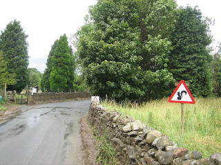
This is normally a field not a part of the river..

these areas near Powick are normally a field and road passable by more than just 4x4's & pedestrians...

another pic of the flood waded through at Powick..


